DIFFERENTIATION OF THE USE OF REMOTE TRAFFIC RESEARCH METHODS
DOI:
https://doi.org/10.31660/2782-232X-2023-4-34-47Abstract
The existing urban trends give new demands on the transport infrastructure of modern cities. Urban development planning should be based on representative traffic information. To reduce the resource costs of network research of traffic flows, we chose the method of remote sensing of traffic by criteria of area and configuration of the streetroad network of the urbane territory with the use of modern satellite systems. The most suitable satellites for this purpose in Russia are Resurs-P and Kanopus-B, while the best satellites abroad in terms of image quality and regularity of resource updates are The Landsat Programme and Maxar (USA). We set, that the spatial resolution of satellite images and the scale of the image to be interpreted are correlated with the technical capabilities of satellite systems; the critical spatial resolution of 1/14.8 m/mm is achieved at a scale of 1:450. The authors developed an algorithm for selecting a rational method of remote sensing of traffic for different spatial urban structures at micro-, meso- and macro-levels and considered it on the example of 14 urban Russian and foreign agglomerations. The article presents a feasibility study of remote sensing application based on the "cost per unit of accuracy" criterion. Its values ranged from 0.08 to 1393.94 thousand rubles depending on the selected monitoring method and the area of spatial structures of the studied objects. The satellite remote sensing method was found to be a priority in terms of cost per unit of accuracy. Taking into account the obtained data, we plan to create a software product for automation of decoding algorithms for determining traffic parameters.
Keywords:
shooting scale, remote sensing, shooting system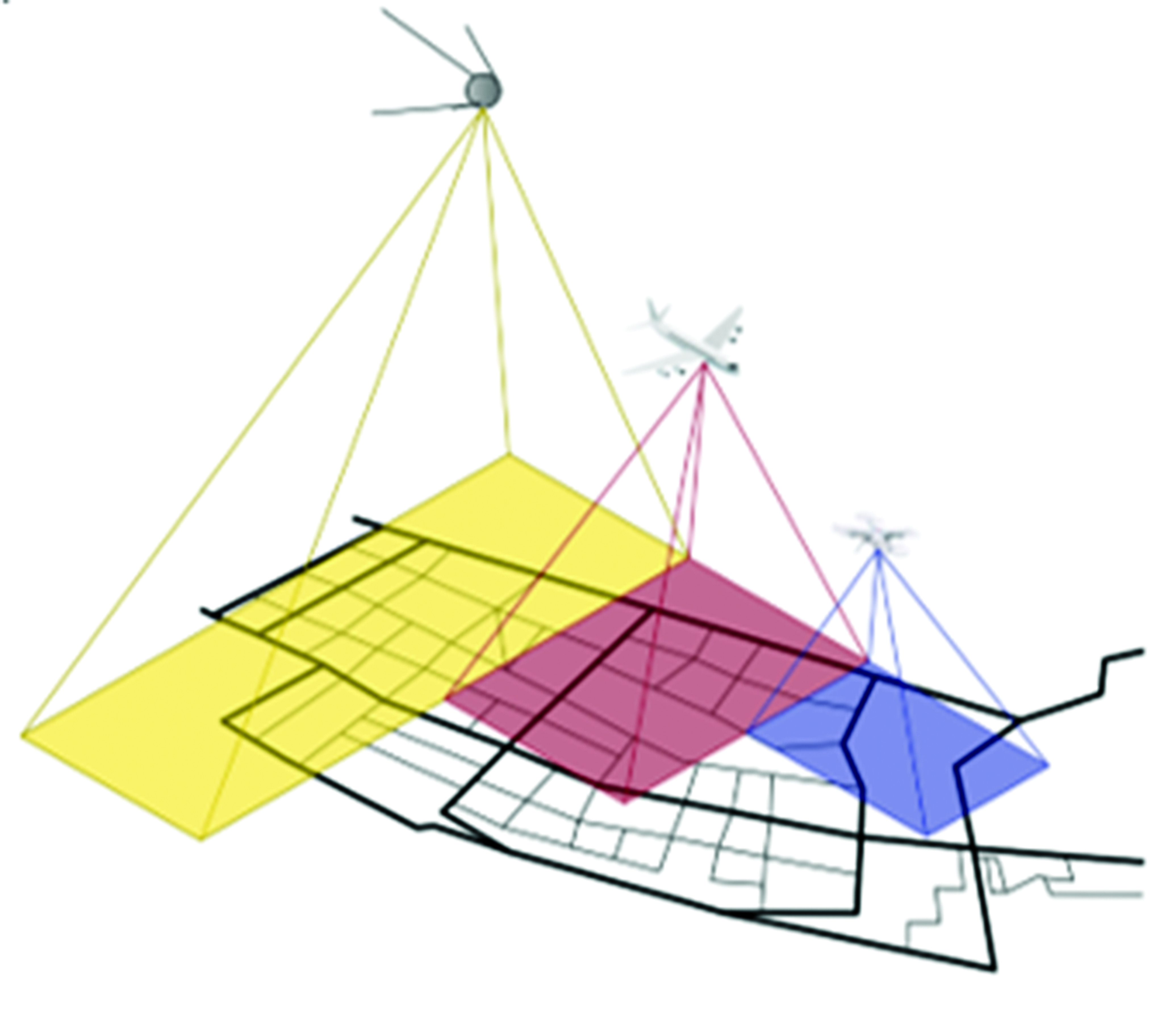
Downloads
Published
How to Cite
License
Copyright (c) 2023 Alexander A. Testeshev, Vera D. Timohovets, Tatyana G. Babich

This work is licensed under a Creative Commons Attribution 4.0 International License.